
AI, Maps, and Global Data Streams: Solving Major Global Challenges
How AI, Maps, and Global Data Streams Unite to Solve Humanity’s Hardest Problems
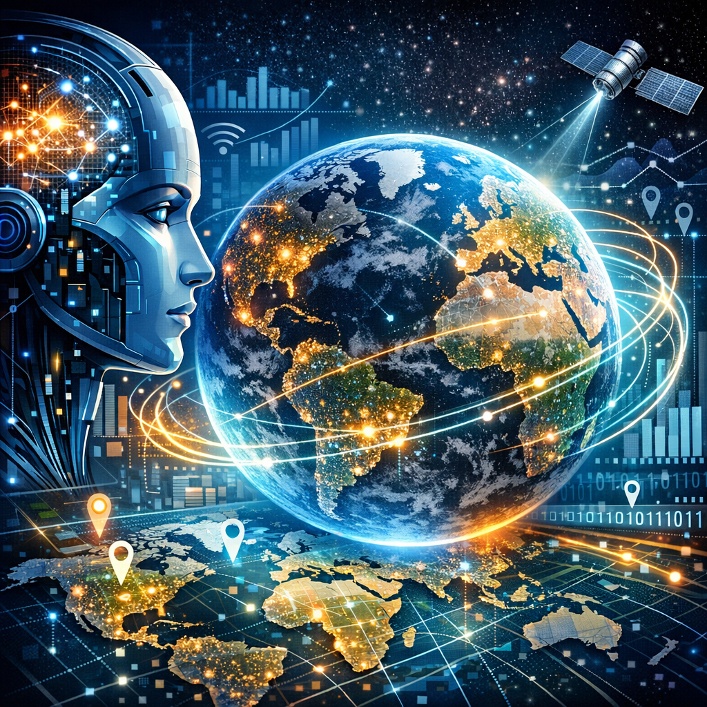
In our interconnected world, the fusion of artificial intelligence (AI), maps, and global data streams is revolutionizing our approach to solving some of the most challenging issues facing humanity. From climate change and disaster response to improving healthcare and urban planning, the integration of these technologies provides powerful tools that harness the power of data for good.
AI: The Brain Behind Data Analysis
AI technology, particularly machine learning and deep learning, has become the cornerstone of extracting meaningful insights from vast arrays of data. AI can predict patterns, learn from outcomes, and make informed decisions faster than traditional methods.
Real-Time Disaster Response and Management
AI models are trained to quickly analyze emergency situations by processing data from multiple sources, including satellite images and social media feeds. This capability allows for real-time analysis and a rapid response, which is crucial during natural disasters such as earthquakes or floods.
Healthcare Advancements Through Predictive Analytics
In healthcare, AI is used to predict disease outbreaks and response strategies. By analyzing global health data, AI can forecast areas at risk and help in deploying resources efficiently, thus saving lives.
Maps: Visualizing the Data Landscape
Maps are a powerful tool for visualizing data in a geographical context, making complex data sets understandable and actionable. Geospatial data mapping can highlight trends that are not immediately apparent in tabulated data.
Optimizing Urban Planning
Urban planners use maps generated from AI analysis to design more efficient public transport systems, optimize road networks, and plan sustainable urban expansions. The integration of demographic data and mobility patterns on maps helps in making informed decisions that cater to the future growth of cities.
Environmental Conservation Strategies
Maps also play a crucial role in environmental conservation. By combining AI with satellite imagery, scientists can monitor deforestation, track wildlife populations, and manage natural resources more sustainably.
Global Data Streams: The Integration Point
Global data streams are the continuous flow of information being generated around the world at every moment. They include data from satellites, IoT devices, sensors, and social media—all contributing to the pool of global knowledge.
Enhancing Climate Change Models
With the help of AI, these data streams can be analyzed to improve climate models and understand environmental impacts more precisely. This involves predicting weather patterns, assessing water resources, and tracking carbon emissions on a global scale.
Strengthening Global Security Networks
AI algorithms help in deciphering global data streams to identify potential security threats or unusual activities. From cybersecurity to national defense, integrating AI with continuous data feeds enables proactive measures against possible threats.
Conclusion
The union of AI, maps, and global data streams is more than just technological advancement; it’s a multidimensional strategy poised to address and solve some of the most pressing challenges of our time. As we continue to develop these tools and integrate them more deeply into our problem-solving processes, the potential for positive change is immense. Embracing these technologies not only aids in immediate decision-making but also paves the way for sustainable solutions that were once considered impossible.