
UN and Satellite Data Fuel 14-Zone Global Crisis Network
How Satellite Data and UN Feeds Power Our 14-Zone Global Crisis Network
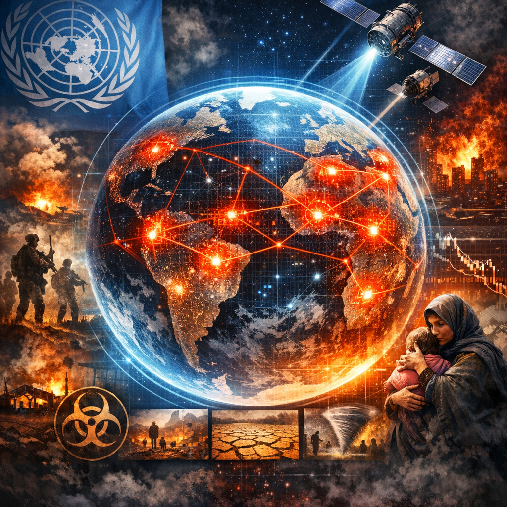
In today’s interconnected world, managing global crises requires unmatched precision, real-time data, and extensive cooperation across international borders. Our 14-Zone Global Crisis Network (GCN) harnesses the power of satellite data and United Nations (UN) feeds to coordinate responses to global emergencies effectively. This cutting-edge approach not only enhances our crisis response capabilities but also significantly improves decision-making processes during critical times.
Understanding the 14-Zone Global Crisis Network
The Global Crisis Network divides the world into 14 zones, each representing a geographic area with unique environmental, political, and social characteristics. This segmentation allows for tailored crisis management strategies that address specific local needs while maintaining a cohesive global effort.
Key Components of the GCN:
- Integrated Communication Systems: Ensures seamless information exchange across zones.
- Dedicated Response Teams: Specialists trained to handle various types of crises within each zone.
- Advanced Monitoring Tools: Utilize satellite data and other technologies for proactive crisis management.
The Role of Satellite Data
Satellite data is pivotal to the functionality of the GCN, providing vital information that informs all stages of crisis management.
Impact of Satellite Imagery and Sensing Techniques:
- Early Detection: Satellites monitor natural phenomena such as weather patterns, helping predict and mitigate potential disasters before they escalate.
- Real-Time Monitoring: Continuously updated satellite images give an overhead view of ongoing crises, guiding the deployment of resources and personnel.
- Damage Assessment: Post-crisis satellite imagery helps assess the impact, facilitating more structured recovery efforts.
This real-world application of satellite technology not only speeds up the response times but also increases the accuracy of interventions, saving lives and resources.
Utilizing UN Feeds for Coordinated Response
The United Nations plays a crucial role in international crisis management. By integrating UN feeds into the GCN, our network gains access to a wealth of information, including humanitarian needs assessments, resource availabilities, and coordinated response plans.
Benefits of Incorporating UN Feeds:
- Data Richness: Provides a comprehensive understanding of the crisis environment, influencing more informed decision-making.
- Global Cooperation: Enhances the collaboration between countries and international organizations, aligning global efforts.
- Ethical Governance: Ensures that responses adhere to international standards and human rights considerations.
The use of UN feeds ensures that our responses are not only timely but also align with global standards and ethics, promoting broader international cooperation.
Examples of Effective Crisis Management Using GCN
Our network has already proven effective in managing various global crises. Here are a few instances:
-
Hurricane Response in Zone 4: Utilizing satellite imagery, the GCN accurately predicted the hurricane’s path and coordinated with local authorities for evacuations, significantly reducing casualties.
-
Earthquake Relief in Zone 9: Through immediate access to UN humanitarian feeds, the GCN facilitated rapid deployment of international aid teams and resources, easing the suffering of affected populations.
-
Flood Mitigation in Zone 13: Advanced satellite data allowed for the monitoring of rising water levels, enabling timely interventions and the protection of thousands of vulnerable communities.
These examples highlight the practical benefits and the critical importance of integrating satellite data and UN feeds into global crisis management strategies.
Future Outlook and Enhancements
Looking forward, the GCN aims to incorporate more advanced technologies, such as artificial intelligence (AI) and machine learning, to predict and manage crises more efficiently. The potential for these technologies to analyze vast amounts of data from satellite imagery and UN feeds could redefine how we prepare for and respond to global crises.
Planned Enhancements Include:
- AI-driven Predictive Models: To forecast crisis scenarios with greater accuracy.
- Automated Resource Allocation: Ensuring the most effective use of resources responding to crises.
- Enhanced Real-Time Analytics: To provide decision-makers with the most current information possible.
Conclusion
The success of the 14-Zone Global Crisis Network in leveraging satellite data and UN feeds exemplifies the potential of technology in transforming crisis management. As we continue to refine and expand our capabilities, the GCN stands as a beacon of innovation, coordination, and hope in our collective effort to address and mitigate global crises effectively.