
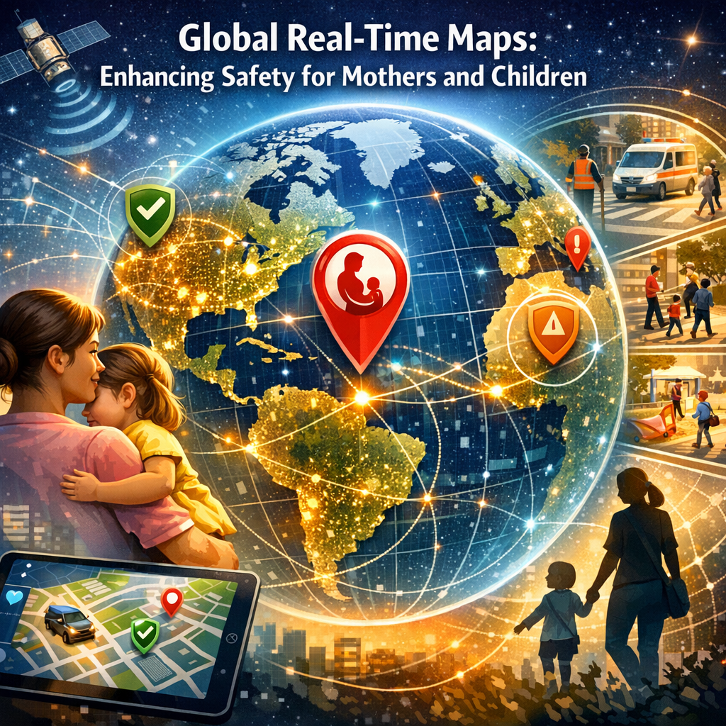
Global Real-Time Maps: Enhancing Safety for Mothers and Children
The Power of Real-Time Global Maps in Protecting Mothers and Children
The use of real-time global maps is transforming how we address some of the world’s most critical challenges. Among these, the health and safety of mothers and children stand out as a priority. Real-time mapping technology isn’t just about navigation or weather forecasts—it’s a powerful tool in the realm of public health and safety, offering insights and actionable data that can save lives.
Understanding Real-Time Global Maps
Real-time global maps are advanced digital maps that are updated continuously. These maps can track and display a wide range of data, including environmental conditions, health service availability, and population movements. This capability is crucial in planning and resource allocation, especially in crisis situations.
How Maps Gather Data
Data for real-time maps is collected via satellites, drones, sensors, and user inputs. Innovatively, these maps integrate data from multiple sources, providing a comprehensive view of current situations as they unfold.
Protecting Mothers Through Enhanced Healthcare Access
Mapping Health Facilities and Resources
One of the primary uses of real-time global maps is to identify areas where healthcare facilities are under-resourced, overcrowded, or non-existent. For expecting and new mothers, access to healthcare is critical. Real-time maps can highlight regions lacking in maternal health services, guiding NGOs and governments in where to focus their efforts.
Optimizing Rescue Operations
In disaster-hit areas, real-time maps can guide rescue and medical teams more effectively. By showing routes that are safe and passable in near-real time, these maps help in dispatching ambulances and healthcare professionals quickly to places where they are needed most, often benefiting pregnant women and mothers who require urgent care.
Safeguarding Children in Crisis
Real-time maps are also pivotal in protecting children, especially during natural disasters, epidemics, and conflicts.
Tracking Disease Outbreaks
For instance, in the outbreak of diseases like Zika or Ebola, real-time maps can monitor and visualize the spread of the infection. This is crucial for preventing disease spread and protecting children’s health, as these maps help in mobilizing public health responses where they are most needed.
Enhancing Emergency Response
During emergencies like floods or earthquakes, real-time maps enable quick and effective deployment of aid, ensuring that children and their families in the most affected areas receive timely assistance. The maps provide responders with information on safe zones and the locations of vulnerable populations that are most in need of immediate help.
Collaborative Efforts and Future Potentials
Integrating Local and Global Efforts
The success of real-time mapping in protecting mothers and children often depends on collaboration between global technology providers and local authorities. Such partnerships ensure that the maps are accurate and the data is relevant, which is crucial for the effective implementation of health and safety initiatives.
Future Technologies
Emerging technologies, such as AI and machine learning, are set to enhance the capabilities of real-time global maps further. Predictive analytics, for example, can anticipate where medical outbreaks or natural disasters are likely to strike, improving preparedness and potentially saving more lives.
Conclusion
The power of real-time global maps extends far beyond simple geography. In the context of public health and safety, these tools offer a significant advantage in protecting some of the most vulnerable populations: mothers and children. By providing comprehensive, up-to-date information, real-time maps are essential in planning, resource allocation, and crisis response. As these technologies evolve, their impact on global health and safety will undoubtedly grow, making an indelible mark on how societies protect their most vulnerable members.